")
")
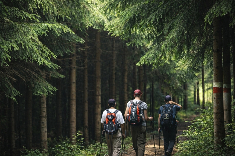
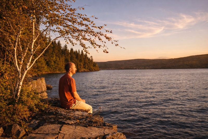
Hiking
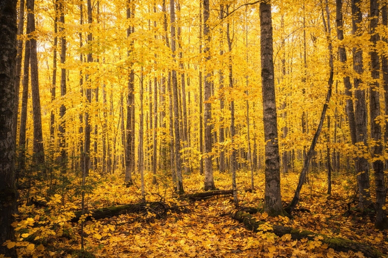
The Sentier national in Bas-Saint-Laurent crosses the Bas-Saint-Laurent region from north to south. From Trois-Pistoles to Dégelis, the National Trail follows the Trois-Pistoles valley, runs along Lake Témiscouata and follows the Madawaska valley, connecting the St. Lawrence River to New Brunswick.
It crosses ten municipalities: Trois-Pistoles, Notre-Dame-des-Neiges, Saint-Éloi, Saint-Jean-de-Dieu, Saint-Clément, Saint-Cyprien, Sainte-Rita, Squatec, Saint-Juste-du-Lac and Dégelis. The route, totalling 144.4 km, is divided into 12 sections, each ranging from 8 to 15 kilometres in length.
Practical information:
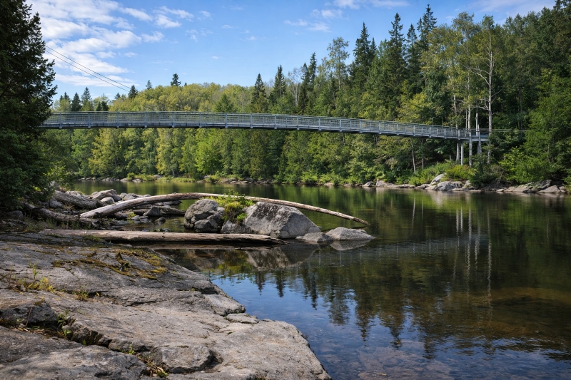
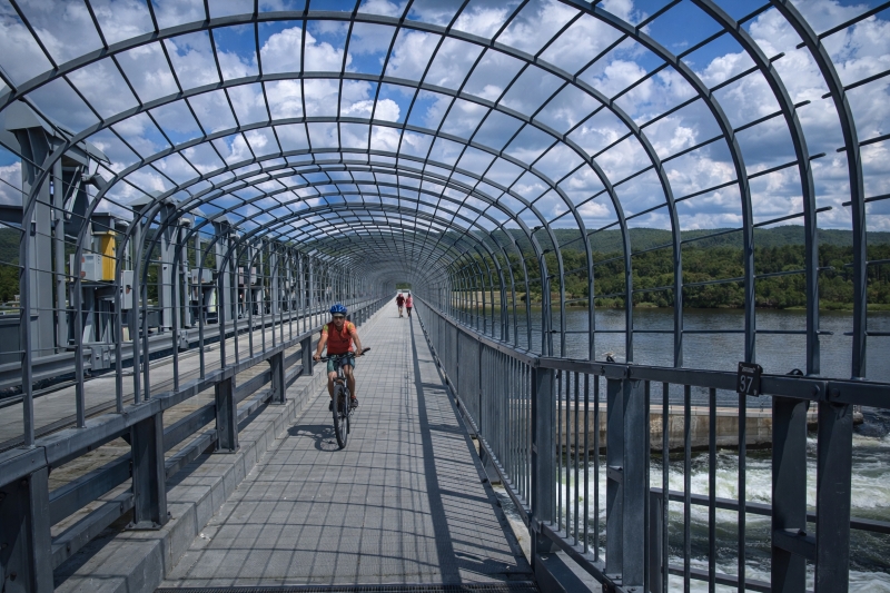
- The Sentier national in Bas-Saint-Laurent is reserved exclusively for hiking and snowshoeing, with the exception of the first 6.5 kilometres of the Littoral Basque section, which is shared with the Route Verte.
- The difficulty levels of the sections range from easy to intermediate.
- Access to the Sentier national in Bas-Saint-Laurent is free, except for the portion that crosses Parc national du Lac-Témiscouata, managed by Sépaq.
- There is a parking area and an information panel at the start of each section.
- The Sentier national in Bas-Saint-Laurent is marked with red and white trail markers.
- The trail is not patrolled, so it is important to be in good physical condition and to have the proper hiking equipment.
- Dogs are welcome on sections that are not located within Parc national du Lac-Témiscouata. However, some municipalities require dogs to be kept on a leash.
- Hikers are asked to stay on the trail, respect the environment and carry out their waste.
- Shelters are available to hikers along the National Trail. To spend the night, reservations must be made in advance with PARC Bas-Saint-Laurent.
Le Littoral Basque
Access routes :
Parc de l'Aventure Basque
en Amérique (PABA)
Distance : 12.1km
Municipalities : Trois-Pistoles
and Notre-Dame-des-Neiges
Rivière des Trois-Pistoles
Passerelle Basque
Distance : 13.2km
Municipalités : Saint-Éloi
Sénescoupé
Pont des Trois-Roches
Distance : 15.7km
Municipalités : St-Jean-de-Dieu
et Saint-Clément
Toupiké
Passerelle Sénescoupé
Distance : 11.5km
Municipalités : Saint-Cléments
et Saint-Cyprien
Les Septs-Lacs
Camping Leblond
Distance : 11.3km
Municipalités : Saint-Cyprien
et Sainte-Rita
Les Érables
Rang des Sept Lacs
Distance : 14.2km
Municipalités : Sainte-Rita
et Squatec
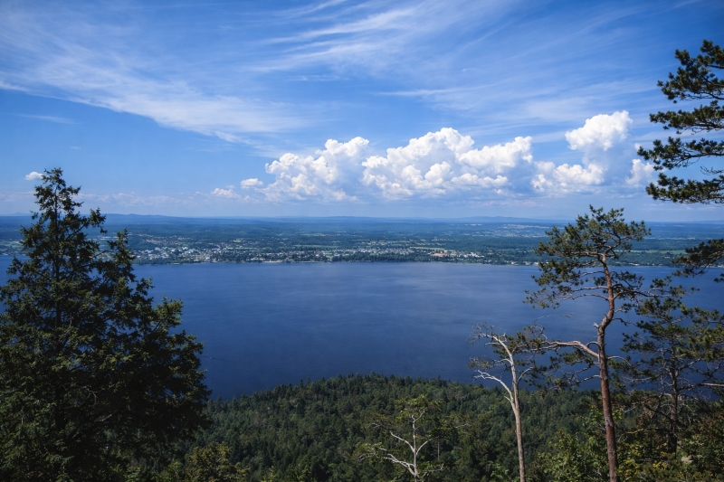
Lac Anna
Route 232 à Squatec
Distance : 7.6km
Municipalités : Squatec
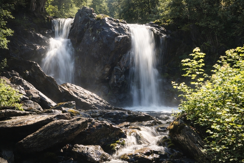
Les Cascades Sutherland
Route 232 à Squatec
(près de la pourvoirie du Lac Anna)
Distance : 9.6km
Municipalités : Squatec
Montagne du Fourneau
Route touristique
(vieux chemin)
Distance : 9.6km
Municipalités : Squatec
Rivière Touladi
Route touristique
(vieux chemin)
Distance : 15.6km
Municipalités :
Saint-Juste-du-Lac
La Grande Baie
Chemin du Lac
Distance : 14.3km
Municipalités :
Saint-Juste-du-Lac
et Dégelis
Dégelis
Route 232 à Squatec
(près de la pourvoirie du Lac Anna)
Distance : 9.6km
Municipalités : Squatec
